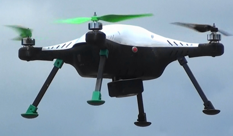
VisionX Precession Aerial Mapping Drone
This drone has RTK GPS and 20MPix Sony camera integrated for precession aerial surveying. It has 40minute endurance and 5cm accuracy in aerial surveying.
![]()
This drone has RTK GPS and 20MPix Sony camera integrated for precession aerial surveying. It has 40minute endurance and 5cm accuracy in aerial surveying.