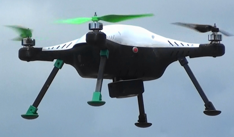
This drone has RTK GPS and 20MPix Sony camera integrated for precession aerial surveying. It has 40minute endurance and 5cm accuracy in aerial surveying.
This drone has RTK GPS and 20MPix Sony camera integrated for precession aerial surveying. It has 40minute endurance and 5cm accuracy in aerial surveying.